Tier 5

Disaster Response & Search and Rescue

A place to start

Two starting points for your build.

These illustrative configurations are starting points for a built-to-order discussion. Equipment, options, validation and pricing are agreed after the scope is reviewed.

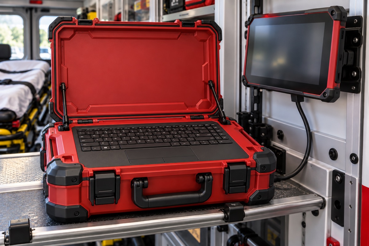
Open red response-system concept with integrated black keyboard and touchpad and a separate cabled display.
Concept illustration. Final equipment and specifications vary by build.

Built to order

Configuration 1

Responder reference workspace

A portable starting point for team-approved offline references and maps, with local AI, source/date visibility and purpose-selected rugged backup power.

Price estimateCAD 7,999–9,999

Provisional; subject to the final agreed configuration and quote. Screen additional.

Estimate details

Base system estimates exclude a screen. Screen prices are additional. Satellite equipment, satellite service and taxes are separately confirmed and quoted.

All price estimates are provisional and subject to a final agreed configuration and quote. Screen options are planning placeholders; models, suitability and any certification requirements are confirmed during scoping.

Enquiry links open a local preview only. Nothing is sent and no order is placed.

Built to order

Configuration 2

Shared incident workspace

A team workspace for shared maps and reviewed imagery or sensor imports. Optional connectivity and a separately purchased rugged tablet are scoped around the response brief.

Price estimateCAD 11,999–14,999

Provisional; subject to the final agreed configuration and quote. Screen additional.

← Back to hardware overview

Built to order

Local information. Shared maps. People in control.

Commission a portable, rugged field system with water protection selected for the operating conditions. Scope more capable local AI and preloaded medical and disaster-response references, with visible sources and dates and human review.

Plan upgraded, switchable GPS and mapping, comparison of incoming drone imagery with reference maps, and shared incident maps for searched areas, hazards and help requests.

The workspace supports qualified responders and established procedures. Medical and operational decisions remain with people.

Team-specific connectivity options

Satellite broadband

Explore an optional Starlink satellite broadband package, selected around the location, service availability and compatible equipment.1

1 Future options may include Canada’s Telesat Lightspeed, subject to service availability and compatible equipment.

Temporary cellular coverage

Explore team-specific options to help stranded people reconnect using their own phones.2

2 Subject to carrier coordination, spectrum authorization and device compatibility. Cellular technology and handset compatibility must be confirmed for each project.

Shaped around your application

Keep the team’s information reviewable.

Agree the medical and disaster-response reference library with the response team before field use. Source and date visibility help responders judge whether information is appropriate and current. Local AI supports finding and reviewing information; medical and operational decisions stay with qualified people and established procedures.

Plan shared incident maps around the information a team needs to review: searched areas, hazards, help requests and incoming observations. Drone imagery and sensor imports depend on agreed formats, alignment checks and human review. Water protection, dedicated rugged backup power and optional tablet choices are selected for the conditions and the complete system.

Every configuration is designed to work offline and fetch online information when connected. Final capabilities depend on suitable existing equipment and compatible ready-made modules, with the complete assembly reviewed against the project’s requirements.